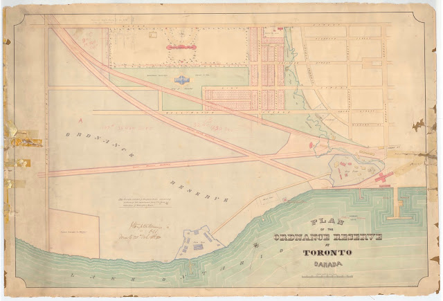
This plan is remarkable not only for its lovely shaded depiction of Lake Ontario, but also for including the 1858 Crystal Palace south of the Asylum; for showing the new streets and plan of subdivision west of the Garrison Creek ravine; and for the double footprint for the Officers’ Barracks within the new fort. This last feature has left experts familiar with the building stumped, but may be explained some day by a lucky researcher who comes across a revealing report while looking for something else.
Click the map to view a full-size version (PDF).
Plan of the Ordnance Reserve at Toronto Canada
[Sgd] J. Stoughton Dennis P.L.S. Toronto 28th Feb. 1862. Owen Jones Del / 62
Source: Ontario Ministry of Natural Resources, Office of the Surveyor General: SR5904 O8-25
Copyright: 2013 Queens Printer Ontario
Winearls, MUC no. 2122(5)
Next Chapter: ‘Old’ Fort York
Back to: The Military Reserve

