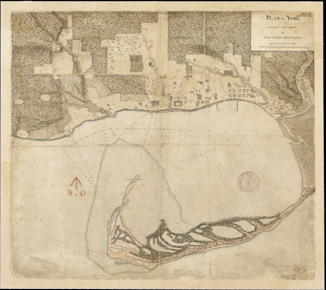
Drawn by Lieut. George Phillpotts in 1818 and signed by him in 1823, this map shows the Reserve outlined in red except on the east side where a curve traces the firing range of the fort's guns. The underlying land ownerships there differed slightly from the boundary. East of the Creek, roads run from from the foot of Peter Street to the fort and other points up the ravine to Lot [Queen] Street. West of the fort is cleared for a short distance, then is mostly wooded except for around the Western Battery and old French fort.
Click the map to view a full-size version (PDF).
Plan of York Surveyed and Drawn by Lieut. Phillpotts Royal Engineers. 24th May 1818. Commandg Royal Engrs Office Quebec Septr 24th 1823 [Sgd] George Phillpotts Lieut. Royl Engineers
Image courtesy Library and Archives Canada: NMC17026
Winearls, MUC no. 2040 (2)
Next map: 1827 Walpole & Phillpotts Sketch of the Military Reserve at York shewing the position [...] of the Government Buildings
Back to: The Military Reserve

